Land & GIS
Areas, parcels and asset records.
Developed by nature managers, for nature managers. Born from one need: making daily work simpler, leaving more time for nature.
Areas, assets and map layers.
From your land on the map to management measures, budgets and delivery.
Areas, parcels and asset records.
Management plans, SNL management standards, measures and budgets.
Reports, work orders and follow-up inspections.
Inventories, planting, tree marking and timber estimates.
Explore the ecological condition of your land.
Routes, facilities, buildings and maintenance.
Organisations, contacts, agreements and records.
Counts, activities and reports.
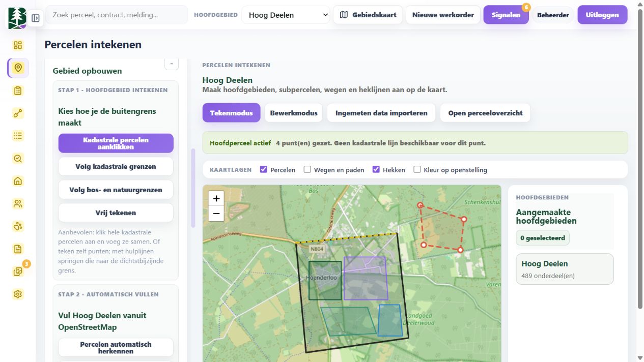
Nature management happens outdoors. Baan brings maps, daily work and field records together. Our aim is less duplicate data entry and fewer hours behind a desk.
Explore Baan with us →See what needs doing, who is responsible and what has been completed. In Baan, management plans, measures, annual planning and work orders are connected.
Record observations and progress where the work happens: with pilot partners, we are improving the link between field records and delivery.
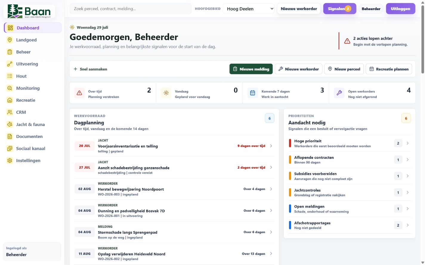
Explore management visions, measures, annual budgets and delivery. Select a screen to enlarge it.
Record your goals, themes and long-term management direction.
Translate your vision into measures, tasks and costs for your land.
Measures, budgets and delivery in one connected plan.
Tasks, responsibilities and progress for work on the ground.
Management types, reference standards and costs as the basis for your budget.
Inventory, growth, planting and harvest planning, with clearly identified estimates.
Set out what you want to achieve for your land.
Translate your goals into practical measures on the ground.
Decide what to carry out each year and budget for the costs.
Make clear who does what, where and when.
Record work in the field and keep track of what has been done.
Record wildlife counts, observations and harvests through the app, including species, numbers, dates and areas. Build an informed picture of wildlife populations and keep track of hunting and wildlife management activities.
Keep legal grounds and permit references with your records. Baan flags missing information so you can see which records need checking and maintain a clear wildlife management dossier.
Discuss hunting and wildlife management

 MicrosoftBusiness Central
 Baan
 Dynamics 365 ERP

Connect Baan with your organisation’s systems. We discuss data exchange with Exact, Unit4, Microsoft Business Central, Dynamics 365 ERP and Kadaster.
Options, access and licences are assessed for each integration.
Discuss your integrationInvestigate the ecological condition of your land using field measurements, weather data and satellite information. Explore patterns in soil moisture, drought, temperature and vegetation.
Sources, dates and uncertainty remain visible, helping you check signals in the field and support your management decisions.
Baan connects your vision with day-to-day management. Record your goals, the measures needed to achieve them and the annual budget. Work orders make delivery clear and trackable, helping your team work more easily in the field.
Explore the process stepsBaan supports deeper investigation of your land. We are developing ecological reporting support further, with attention to the Nature Restoration Regulation and ESRS E4 where applicable. Required species surveys, indicators and reports are assessed for each area and organisation.
About the Nature Restoration Regulation ↗We aim to retrieve information automatically from relevant Dutch funding bodies and link it to your management areas. This planned extension brings schemes, conditions and deadlines together.
Baan is in its early stages. We are looking for pilot partners in the Netherlands to develop the product together. Tell us how your team works and what you need.
Let’s talk